OK, it’s not in Tokyo, but it’s a tributary of the Tamagawa river, and it has some beautiful walking paths, so I’m including it in this blog. It’s the Nikaryousui Canal 二ヶ領用水 in Kawasaki, pronounced にかりょうようすい. It’s also referred to as 二ヶ領本川, Nikaryou River, pronounced にかりょうほんせん, which can be seen on this sign (source):

Here’s a map of the canal/river, which runs almost parallel to the Tamagawa River, to its south.

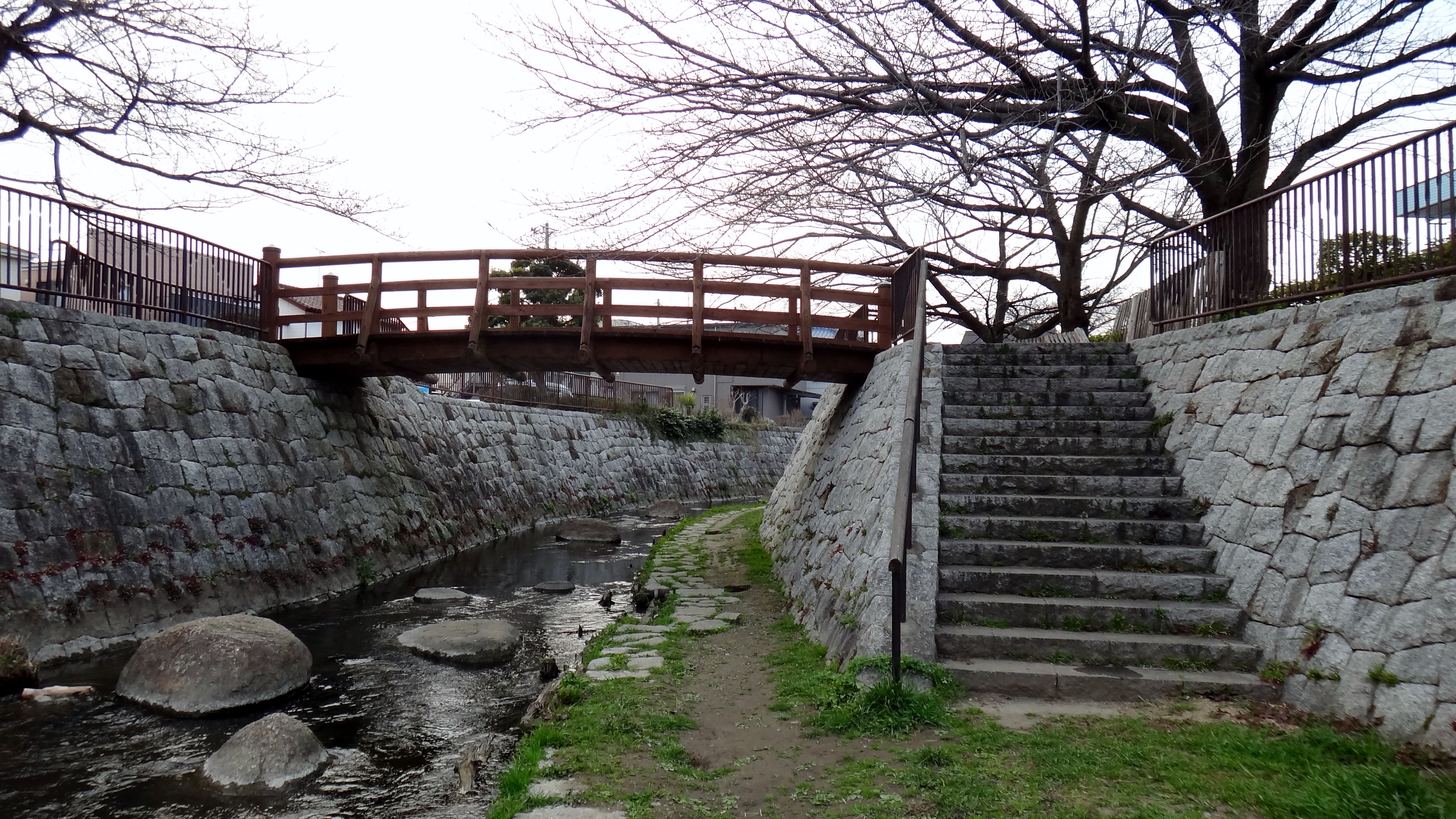
I first came across this river during a walk near Noborito station, and wrote about it here: Path in Kawasaki under the bridge: Nikaryou yousui 二ヶ領用水 (にかりょうようすい) – seen here: the Nambu Line 南武線:

Here are some views of the canal, near here: map.


Nikaryousui Canal walking map 二ヶ領用水散策マップ (source)


Kawasaki tourism brochure:
In addition to the Nikaryo Yosui Canal, includes the Egawa Seseragi Boardwalk and Higashi-Takane Forest Park.

Links:
- Tamagawa Ecomuseum 二ヶ領せせらぎ館
- Provisional spaces in Tokyo
- Residents’ Attitudes towards Small Rivers in an Urban Area : Balancing the Environment with Flood Control Measures – Case Study in Kawasaki City
- 二ヶ領用水前編 二ヶ領本川(上河原堰~出会い橋)
- ClearWater Nippon & splashing around Tokyo’s water infrastructure
- Takatsu-ku ento-bunsui walking map (Kawasaki) 円筒分水と久地不動尊コース
- Why schools visit the Nikaryo yosui canals – a trip back to Edo bakufu’s foundations
- http://kanagawa87.web.fc2.com/sakura_nikaryou.html
- https://ja.wikipedia.org/wiki/二ヶ領用水
- Kawasaki: Tsukui Highway and Masugata Castle 川崎歴史ガイド ⊗ 津久井道と忻形稢址

[…] Nikaryousui Canal 二ヶ領用水 / 二ヶ領本川 […]
LikeLike
[…] (1) 二ケ領用水 Nikaryo yosui canal […]
LikeLike
[…] Path in Kawasaki going under the bridge: Nikaryou yousui canal 二ヶ領用水 […]
LikeLike
[…] of ento-bunsui throughout Japan, do a Google image search for 円筒分水. (Also near here is the Nikaryousui Canal 二ヶ領用水, a wonderful narrow river to stroll […]
LikeLike